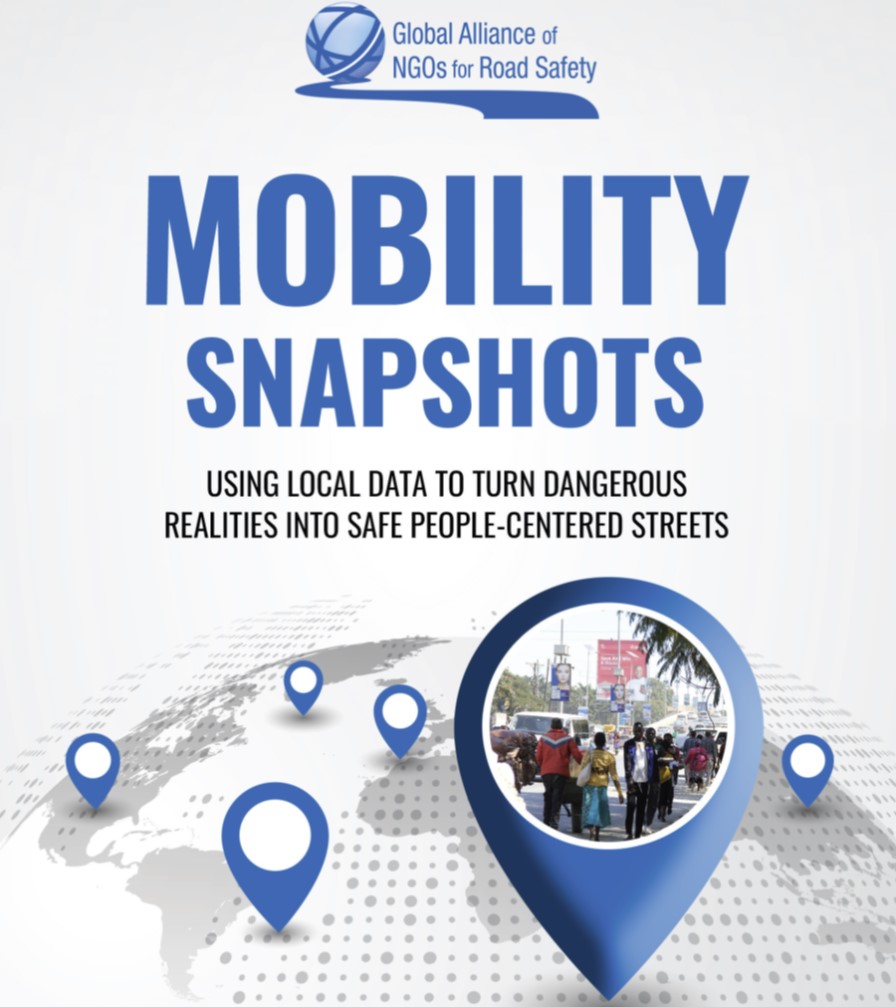
The Global Alliance of NGOs for Road Safety recently launched their mobility snapshot tool, an interactive map which shows the realities of how unsafe the streets are as well as the solutions that can make the communities more livable and sustainable, enabling access to education and work. Data are collected at specific intersections in local communities from 118 Mobility Snapshots in 44 countries at intersections across Africa, Asia, Australasia, Europe, and North and South America. Key findings show that more than 156,000 pedestrians use these 118 intersections during peak hour, yet 102 of them lacked traffic calming measures or a speed limit of 30 km/h or lower. ![]()
![]()